Tag Archives: exploring

Exploring Louisville Kentucky

Louisville Kentucky

At first thought, Louisville Kentucky is not in a lot of peoples list of places to go. That is except for one day a year – The Kentucky Derby! We took a weeklong trip recently and once we started looking at what there is to do, we found plenty to keep us busy. The number one attraction on TripAdvisor is the Mega Cavern. This was certainly on our list but we never did make it. If you’re looking for a unique adventure, this would appear to be it with underground ziplines and ropes course. For sports enthusiasts there is the Louisville Slugger Museum and factory. That was something I forgot about until getting to Louisville and seeing signs with the bat on it.

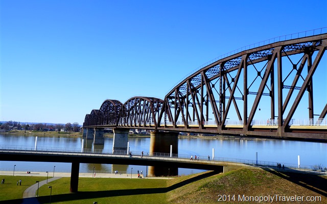
Walking Bridge Over the Ohio River Connecting Kentucky and Indiana

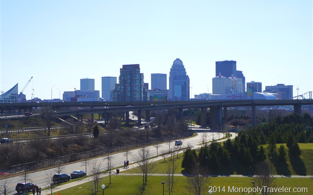
Moving on to areas to explore that we personally experienced. In the past few years Louisville has put quite a bit of emphasis on rebuilding their riverfront and they have done a great job providing a place to relax and get out and enjoy an afternoon or sunset along the Ohio River. Currently they are still working on improvements to make it an even better experience. You can walk across the river on an old rail bridge and go from Kentucky on one side to Indiana on the other. It’s a great bridge to enjoy the sights with the beautiful Louisville skyline in the background. The only thing that would have made it a little better would be to have a Kentucky State sign on one end and an Indiana State sign on the other. There really isn’t a good place to take your picture by state signs as the entrances to the states are over a river.

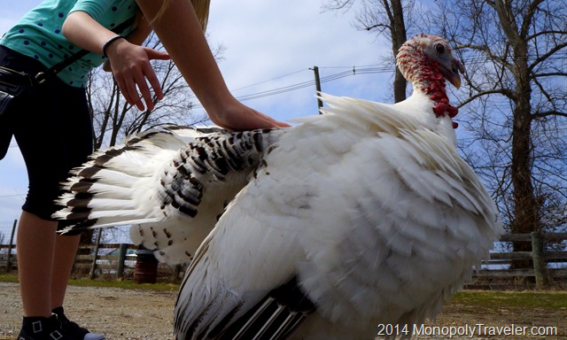
Henry's Ark Tour Guide

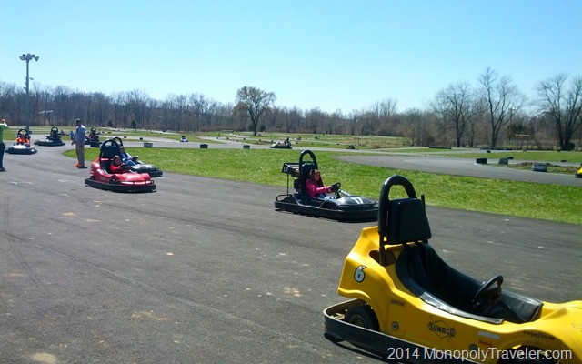
If you like animals, Henry’s Ark in a Louisville suburb is a nice place to spend a couple of hours. This is a nice place especially if you have kids. For our tour we had a special tour guide that the kids really enjoyed – one of the resident turkey’s. For a little faster paced adventure there is the largest go cart track in the world at Kart Kountry. Their track is 1.5 miles long and quite challenging. They offer two different types of go carts. Most are the average cart while you can upgrade to their Thunderbolts and pass many of the other drivers on the track. Warning: you have to have a driver’s license to upgrade as these definitely go faster and you need to know how and when to pass the other carts. We all enjoyed the challenges this track offers.

Kart Kountry

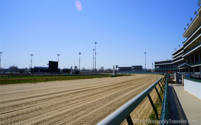
While in the area, a visit to Churchill Downs should be on your list if for no other reason than the historic nature of this place. There are tours offered throughout the week with visits to different areas of the racetrack. I couldn’t believe the amount of money horse racing is worth. I’m not a big horse racing fan but there was much to learn about the sport at the museum. We were able to pet one of the retired race horses at the completion of our tour making this more interesting and fun for the younger people. Along with the numerous education displays there is an area in the museum where you can practice betting on taped races and even a game area where you can get on a simulated race horse, select your type of horse and race against others. After a visit, watching the Kentucky Derby (or watching Secretariat) will be more fun and interesting since you’ve seen this place in person.

Churchill Downs

For those older explorers, there is another item Kentucky is famous for – Bourbon. There is the bourbon tour if you are willing to travel to many different distilleries. Louisville is considered the gateway to this tour with many distilleries requiring quite a bit of travel. There are 10 places to stop on this tour to complete the bourbon tour and is recommended to take all these in over 3 days or more. Apparently at the end of the tour there is a free gift with a completed passport. We didn’t get the opportunity to experience this first hand but looks interesting if we get the opportunity again.

Mammoth Cave

For natural wonder seekers, a few hours away resides Mammoth Cave National Park. You can read about our adventure here…..

Re-living American History–Valley Forge

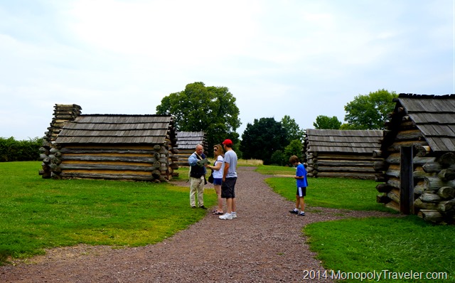
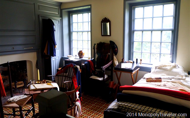
Living Accomodations at Valley Forge

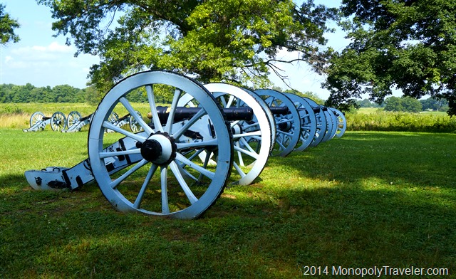
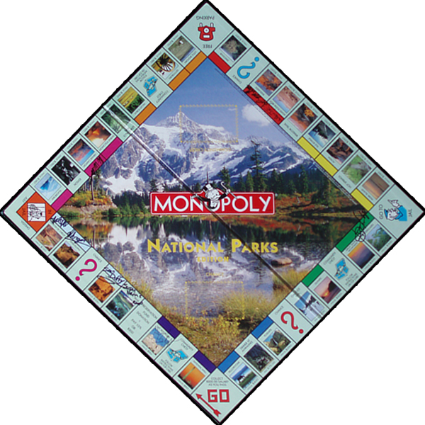
Valley Forge was an encampment used during the American Revolutionary War for the winter of 1777-1778 just outside of Philadelphia. There was no battle here so it may seem a little unclear as to why this was turned into a national park. What’s so significant about Valley Forge? Valley Forge marked the turning point in the war because the army was able to train and learned how to fight as a unified army under General George Washington. Without the use of our National Parks Monopoly board we may have never taken the opportunity to explore Valley Forge National Historical Park and missed learning about this important place in United States history.

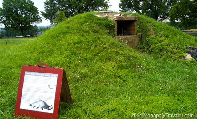
Ovens to Prepare Food

We were fortunate to be joined by some friends while exploring Valley Forge which provided a different way to look at the Revolutionary War as we learned about this Continental Army encampment. One of those friends is British bringing a very different point of view and a new perspective on this war. I had never thought about the war from the British view which added to the interest while learning about Valley Forge. Seeing how the soldiers lived and everything they had to endure was quite interesting.

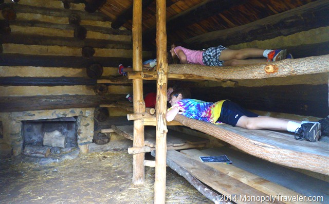
Living Space Inside the Soldiers Huts

These soldiers were only in Valley Forge for six months. In that time they had to build shelter, fortify the area from attack, and train all without adequate supplies, food, and clothing. How many Americans today would accept these conditions? If it meant freedom? I think there are a great many that would sacrifice everything they had to if it meant gaining freedom. There are many that do that in today’s military for the protection of our country and for other’s freedom. I’m humbled to think of these people and the strength of the United States even when it seems there are a great many differences separating this country.

Fortifying Valley Forge

Knowing how these soldiers were living brought the question of how were the British soldiers living? Did they have equally bad supply of food and clothing? Before Valley Forge the Continental troops were relatively untrained so the British were looking for a way to win the war quickly and likely thought it should be relatively easy. I’m sure their troops were not desiring to be in America having to continue this fighting even though there was likely a great pride being a part of the greatest military in the world at that time. I assume their living quarters consisted of buildings they had taken over and turned into housing giving them an advantage since they didn’t have to take time to construct new structures.

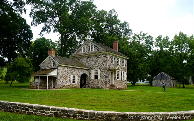
General George Washington's Headquarters

It was educational to see General Washington’s living quarters which were rented for the winter. They were modest but still substantially nicer than the huts built to house the troops. Most of the huts would house twelve soldiers in each one. Talk about cramped quarters. These all had to be built during the winter. Imagine all of the trees and stones needed to do this in such a short period of time. I’m sure there was very little time spent in these huts as there was food to get, security to provide, and training to complete while maintaining equipment. Each day wondering when the next battle would take place and where that would be. By the end of their stay at Valley Forge I’m sure the troops were eager to move on and engage in the next battle. You certainly cannot win a war by staying in a camp living without enough supplies.

A Place to Sleep

The Longest Cave

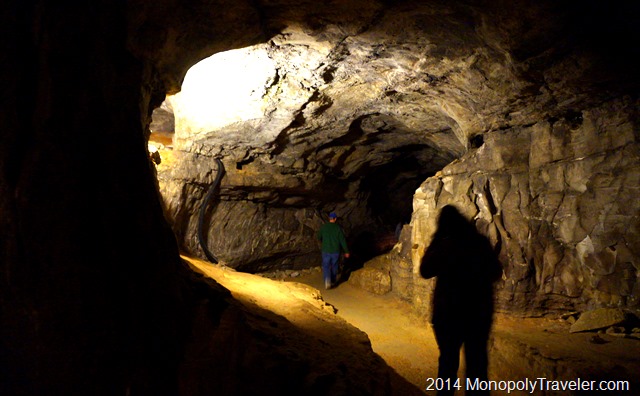
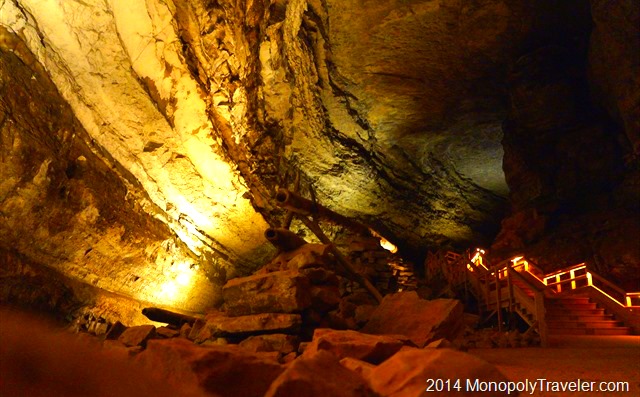
Inside the Enormous Cave

The longest cave in the world is found in Kentucky with over 365 miles of explored caves to wonder and get lost in. Although if you’re not an experienced cave explorer than you have to be escorted inside because it would be too easy to get lost and not be found for a long time as so many of the passageways look the same. Fortunately there is also a lot to explore outside of the cave as well with almost 80 miles of trails to hike and the Green River in this 53,000 acre national park.

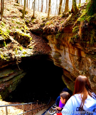
Heading into the Historic Entrance of Mammoth Cave

Mammoth Cave National Park is not on our National Parks Monopoly Board but has been a destination of interest for us and this spring we had to opportunity to join some friends and visit this cave. I get a little nervous before entering any cave due to claustrophobia but after going in Wind Cave and Jewel Cave I’ve learned that these caves are so enormous, especially where the tours are, that I forget I’m underground in a cave most of the time which allows me to take in the surroundings and enjoy the cave. I recommend getting to Mammoth early in the day as the tour tickets go fast at this popular National Park.

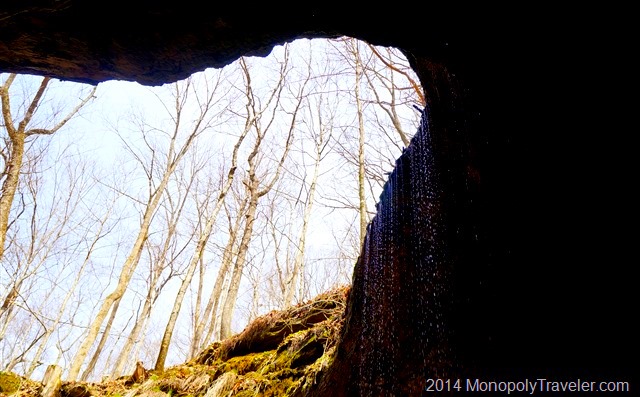
One Last Look Back to the Daylight

The pathways are fairly easily managed and there is plenty of light to navigate by, once your eyes adjust, while being led through the tunnels by a ranger. Just be prepared for a lot of stairs. There are several tour options available which take you to different parts of the cave and highlight different formations and the historic events that occurred in certain areas such as mining saltpeter which is used for gun powder and holding church services during the hottest times of the year. We chose to take the Historic Tour as our introduction to Mammoth Cave.

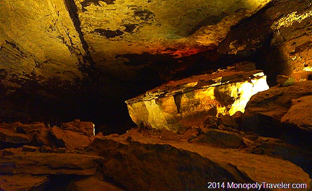
The Boulder Known as the Giant's Coffin

After meeting at the predetermined location we began walking towards the historic entrance which was all downhill for us. Following a brief talk covering the rules and guidelines inside the cave we headed down a long staircase going inside the cave. There was a set of doors to go through and we were inside this dark, cool, and damp maze. I was surprised to be underground exploring a cave this quickly. My prior experiences all required an elevator to get inside the cave and yet here we were. It was hard to see much making the lighting seem rather dim. As it turned out, our eyes just needed to adjust as moments earlier we were in the sunlight. Once our eyesight was adjusted for these cave conditions, it was much easier to take in these unique surroundings.

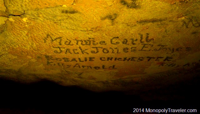
Some of the Writings on the Ceilings

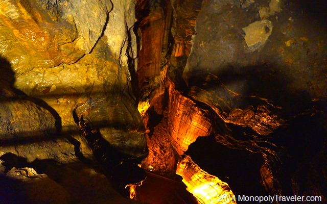
This two hour tour goes up and down, sometimes with stairs and other times just on a dirt path. It winds around boulders and man made structures used at different times during the many uses of Mammoth Cave. In some of the areas there are names written on the walls and ceilings from before becoming a National Park. There are naturally carved areas larger than most houses and tiny narrow openings that only one person can squeeze through in this winding system of tunnels. These passageways were all carved out by running water which continues to make new areas even today. Just at lower levels. Such amazing sights and beautiful formations to remember because photos are difficult and a tripod is not allowed on the tour. I just set my camera on a rock or the floor to keep it as still as possible to get the best pictures I could when there was time because the group was stopped. Otherwise you could fall behind and that was not a pleasant thought.

Looking Down From Mammoth Dome which has 155 stairs to get to the top.

Without lights it would be so dark you couldn’t see your hand right in front of your face. And when there is no one else near you it is so quiet all you can hear is a loud high pitched buzzing coming from the moving parts in your ears as air moves over them. Even with all the people on the tour there can be a sense of loneliness in such a large rock structure and a fear of getting lost in these numerous caverns. Good incentives to stay with the ranger leading the group and continually counting everyone that started this tour with you. After walking for about 2 miles you begin to see familiar stones again with daylight soon after. The tour is complete. Ready to do it again?

An Above Ground Trail

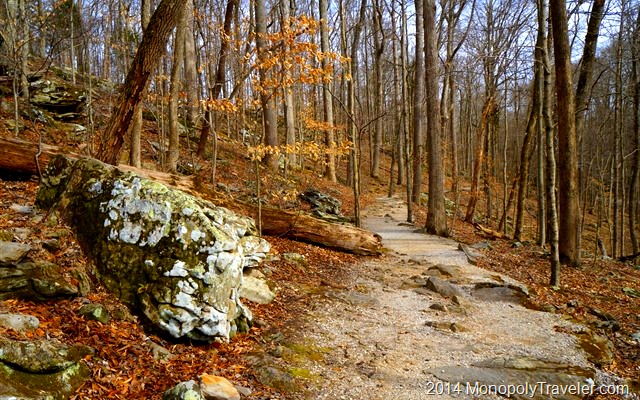
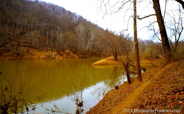
After being below ground for a couple of hours we decided to explore above ground for awhile to take in the scenery and an amazing spring day under the sun. The rock formations here are also beautiful and help translate to the rocks below ground. The main difference is that these rocks are subject to the harsh elements of the Kentucky climate such as wind and rain and snow and ice. There are plants growing all around breaking these enormous boulders into smaller rocks over time. All of which either does not occur underground or in lesser amounts. Plenty of this to climb on or around if you’re young enough. For the rest of us, the trails are relatively easy to navigate so everybody can enjoy time wondering through the woods and catch a glimpse of the Green River which is largely responsible for the depth of the tunnels inside Mammoth Cave by controlling the falling water levels over many thousands of years. Amazing how these different environments work together to make such a creation.

The Green River

The Chilkoot Trail

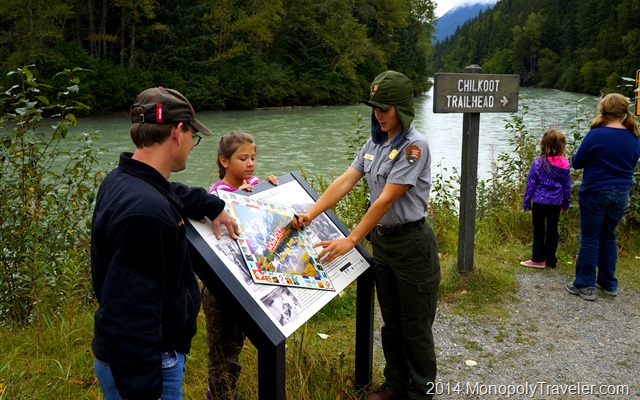
Getting the Board Signed at the Chilkoot Trail

When first looking over the destinations on our Monopoly Board, this was the location I was most concerned about getting to. A trip to Alaska didn’t seem to fit our reality. First of all, we see enough winter in Minnesota do we really want to see it during the summer? There have been a multitude of people raving about how great it is to explore Alaska. Do we really want to experience the sun 24 hours around the clock? The wilderness of this area is often portrayed as a dangerous place with the rugged and steep mountains along with the wildlife that call these areas home.

As we began to experience some of our Monopoly adventures and visit areas that could be considered dangerous because of the landscape and/or the wildlife, I began to look forward to our Alaskan adventure more and more. These areas can be dangerous if you decide to approach them in a dangerous manner. Otherwise, they are as safe as almost anywhere else. And the life experience you gain from exploring Alaska is incredible. On to the next destination on the board – The Chilkoot Trail.

_DSC5440

I would have never known about this historic and beautiful trail if it hadn’t been for our Monopoly Adventures. The trailhead is near Skagway, Alaska so we had to get here and figure out how to get to the trail from Skagway. An Alaskan cruise was the choice of transportation to this town so now we needed to figure out how to get to the trail. Fortunately there are a couple of car rental places in Skagway, an Avis and Sourdough Rental. For a little more information on our choice check out A Day in Skagway. We could have taken an excursion from the cruise line that would have taken us to the trail but they weren’t appealing because of the portions of those excursions that were in addition to the trail and the cost would have been a lot higher.

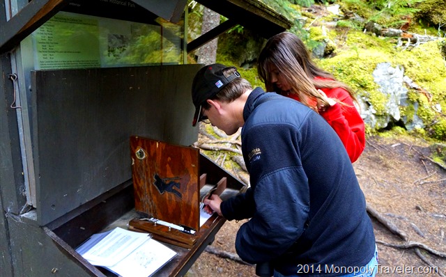
Registering for the Trail

The Chilkoot Trail gained it’s fame from the Klondike Gold Rush. Those in search of gold would travel with heavy packs 33 miles into Canada and on to the gold fields. You can read more about the history of this trail here…. 

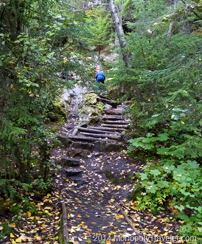
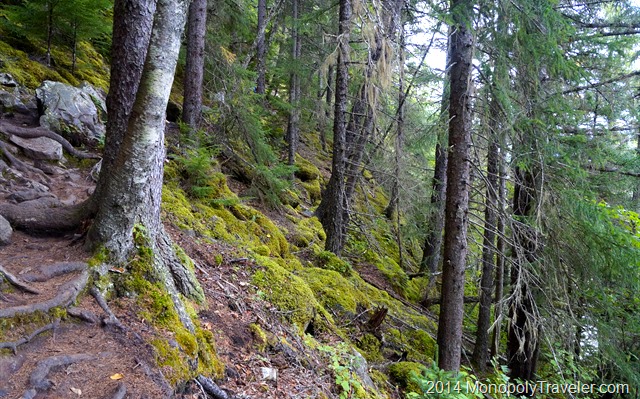
Along the way we learned more and more about the use of this trail before ever arriving here. That made the significance of being on the same trail that thousands have taken for different reasons even more important. We only had a short time to explore the Chilkoot Trail so we hiked for about a mile or two and turned around. While on this short hike we imagined what it would have been like carrying heavy packs up and down the mountain stepping over rocks and tree roots with a careful step because the trail can get very slippery due to the high amount of rain this area receives. All of these elements combine to make a beautiful tapestry which keeps encouraging you to go further.

I am so thankful that this was on our National Parks Monopoly Board so we could experience this adventure!

The Rugged Yet Beautiful Chilkoot Trail

A Drive to the Yukon

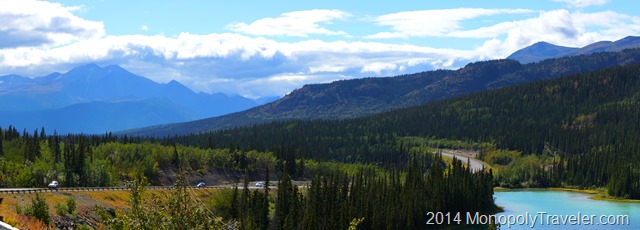
Yukon Pano

It is often said that it’s the journey that’s more important, not the destination. In this case I would say both were amazing. While stopping in  Skagway, Alaska (see post: A Day in Skagway) we chose to rent a car to tour the sights. It was more economical than taking a tour and offered more freedom to see the sights we wanted to take in. From Skagway you take the Klondike Highway out of towards Canada and let the amazing views take over from there. Ultimately our destination was Carcross, Yukon with the option to continue a little further into the Yukon if time permitted

A Foggy Morning in Skagway

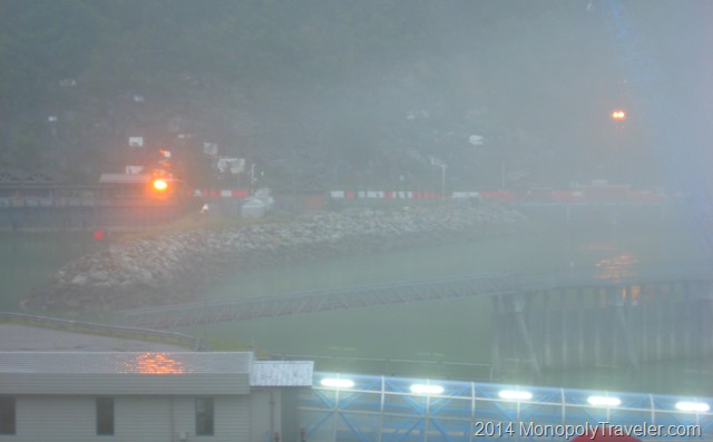
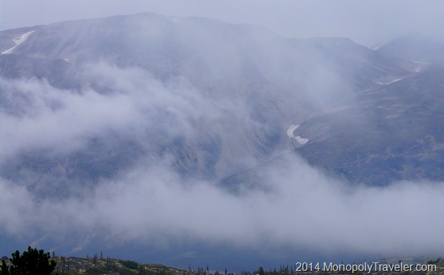
The day started shortly after arriving in port on our cruise ship with walking to the car rental shop and picking up our car. It was a dreary morning with fog covering the mountainous landscape and providing a slight mist from time to time. Weather is certainly a consideration in this part of Alaska which receives on average 27 inches of precipitation a year and cooler temperatures combined with drastic changes in elevation. As we began our climb into the mountains the fog became so heavy it was difficult to see much of the road and certainly the views were drastically reduced. Eventually our route brought us to the Canadian border and a stop at the customs facility. Remember to bring your passport if you decide to take this potentially scenic drive.

View at the Canadian Border

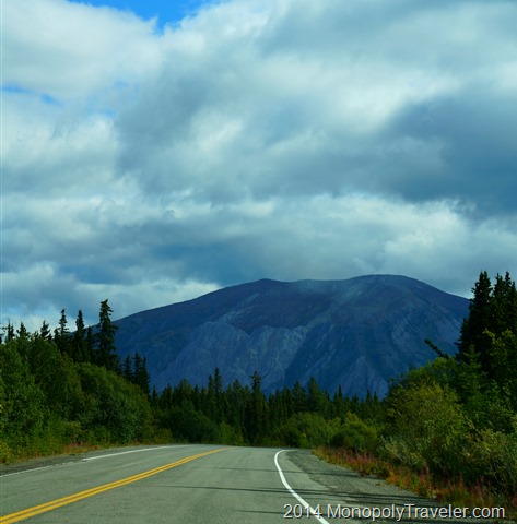
At this point we pulled off the road to get out of the car for a few minutes and discussed whether we should continue on or not. If all we’re going to see is clouds covering the mountains then maybe our time would be better spent returning to Skagway and exploring some of the sights in that area. I’m sure from the top photograph you can tell what we decided. Our decision was to continue on a little further and see how things looked. The clouds and fog were a little lighter here than they were when we started, let’s see if it gets any better down the road. What did we have to lose? Very soon after getting back into our cars and continue down the Klondike Highway the skies cleared opening up the magnificent views.

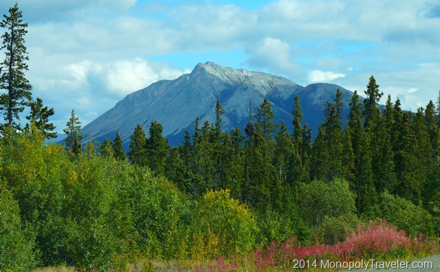
Mountain Views We Had Been Hoping For

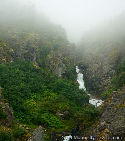
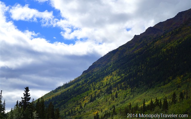
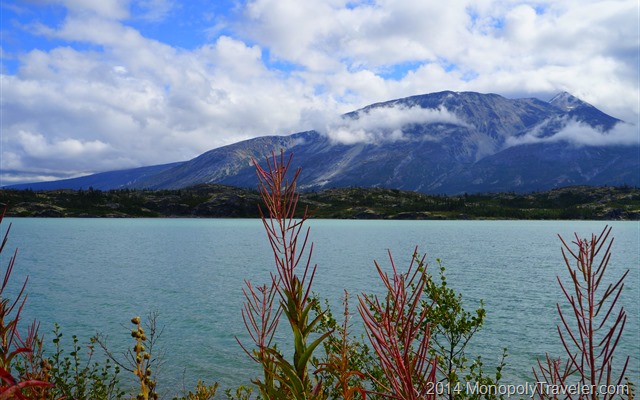
Warning: if you decide to go for a drive into the Yukon from Skagway, pay attention to the road. There are so many distractions from the landscape that you could forget you’re driving for a moment. If you’ve never seen an area like this before, be prepared for your senses to be overwhelmed with the beauty. For the next several miles to Carcross, all you could hear in the car was “look at that over there!” and “did you see that?”. But the most frequent sound was “WOW!”. Every corner in the road brought a different view that was just as beautiful as the last just begging for another picture. That’s if you can remember you have a camera and decide to give up a moment of these views to look through it. Unfortunately most of the photos are disappointing compared to the actual views which is fairly typical of most landscape pictures. Still, you have to try. A majestic mountain over there, a waterfall right near the road, or a lake that continues for miles.

Waterfalls Next to the Road

Soon we came upon our destination and stopped for lunch in Carcross. At first there was little conversation as we were all still taking in the surroundings here in the Yukon. As we approached Carcross there were signs for the Alaska Highway. One of my friends had taken a trip through this area many years earlier and described the amazing sights. I couldn’t imagine them very well at that time but now here I was in the same area seeing some of the same sights. For a short time I contemplated foregoing the rest of the cruise and just continuing on to take in more of this area. The consequences were greater than I was willing to take on so back to the days plan it was.

More Yukon Vistas

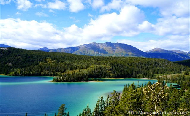
After lunch it was decided there was enough time to continue on towards Emerald Lake just 8 miles up the road before turning around and heading back to Skagway. This lake is not very large but it is extremely colorful and doesn’t look like it belongs among the mountains. It belongs in a tropical paradise somewhere else. There was a larger desire to climb down to the lake and just test the water with a toe to confirm it’s too cold to jump into. Taking a glance at the time told us it was time to head back to the cruise ship without needing to rush giving us more time to look over these vast vistas on the way back.

Emerald Lake

Our return trip came with a few stops along the way to take in a view or two and then came the U.S. Customs stop requiring another view of your passport. As we continued on down the mountain we encountered the views missed earlier that day because of the heavy fog hiding them. Some of the areas were probably ok to miss as the drop a short distance from the road was steep and endless unless you got caught up in a grove of tree tops keeping you from a terminal drop to the bottom. Most of the missed views were a continuation of the incredible sights we’d been fortunate to see much of the day.

Views on the Return Trip

If ever there was a place to help relieve the stresses of the world, this is definitely one of them. Although I don’t think the winter time would be as enjoyable simply because of the driving on snowy roads. I’m sure the views, however, would be just as magnificent if not even better.

Nearing the US Border

Waterfalls

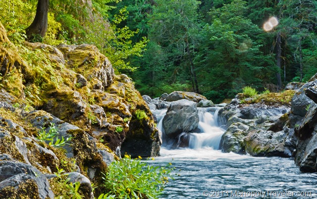
Salmon Cascades in Olympic National Park

Earlier this year I wrote about Chasing Waterfalls in my attempt at improving my photographs. You can read about that here…. While that portion of the photography experiment didn’t turn out very well, it did give me practice for this next opportunity at capturing waterfalls.

The Pacific Northwest is very scenic with a number of beautiful landscapes to enjoy. The combination of mountains and precipitation create stunning views. Of course finding a day without rain or snow to get out and explore these views is a little more challenging. Fortunately for our trip, there was very little rain allowing us to get out and see some amazing waterfalls. The photographs show this all for themselves so I’ll concentrate on showing them.

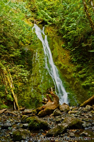
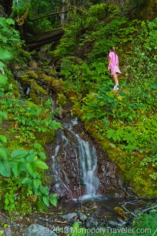
Madison Falls by the Elwha River

This waterfall is a very short hike from the nearest parking area by the Elwha River in Olympic National Park and is definitely worth taking time to see.

Even Driving There are Several Waterfalls Next to the Road

While stopped at a pull out near Crescent Lake to take in the view, this waterfall was right behind us.

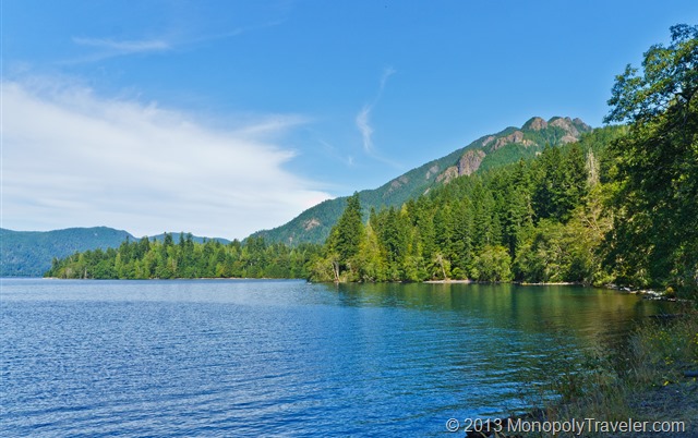
Crescent Lake

The view we stopped to take in when we saw the waterfall next to the road.

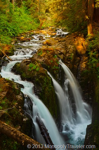
Sol Duc Falls

This waterfall is a bit more of a hike but again was worth the time to explore.

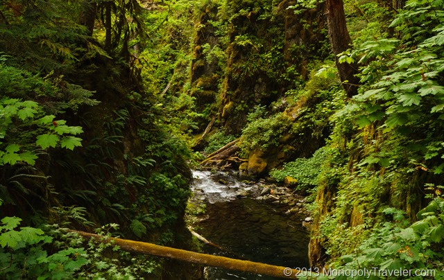
Canyon Carved Out by the Sol Duc River

A beautiful canyon covered in mosses and plants carved by the Sol Duc River.

Oh Look… A Park–Pokegama State Natural Area

_DSC5961

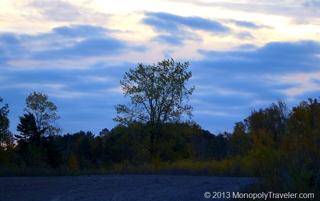
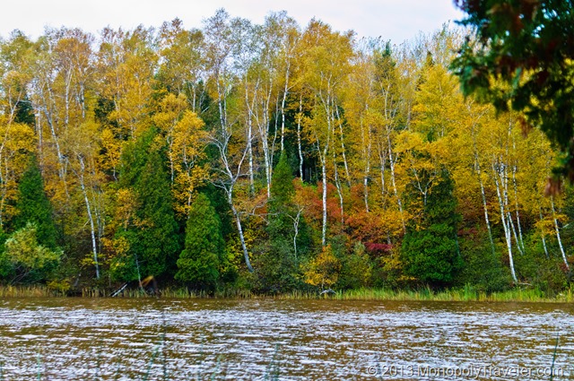
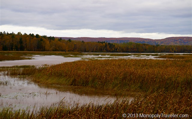
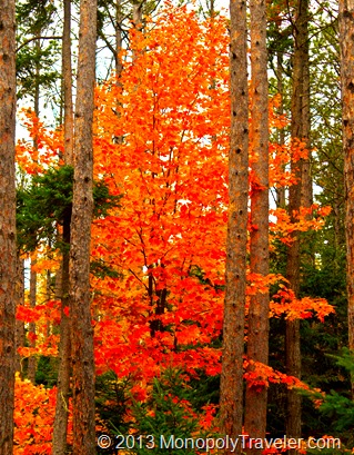
Recently we stayed in Superior, Wisconsin while in the area for a wedding in Duluth, Minnesota. The wedding took place on Friday night allowing time on Saturday to do some exploring. While planning this trip I came across a state natural area about 15 minutes away from our hotel and thought it looked like a nice scenic drive during the peak of fall colors in that area. Saturday morning I was laying in bed awake and it was still dark out. Well, getting back to sleep was a near impossible task for me, why not take this opportunity to get to Pokegama Wetland State Natural Area around sunrise and see if there is anything wondering about. By the time I arrived daylight was already showing up. A windy and cloudy morning told me the likelihood of seeing much for wildlife was little but the scenery was still worth the effort.

Beautiful Fall Colors

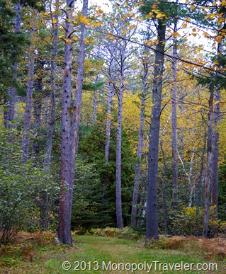
While driving in this state natural area I came upon a couple of trails. this was a little unexpected as they didn’t show up while reading about this spot. The trails are more for skiing than hiking. Still, they are there so why not use them. Turns out, there are a number of trails going through this area I didn’t know about. I’m a sucker for a good trail with nice scenery and a chance to see wildlife. Someplace else to explore if I’m in the area again. The original plan was to drive through this state natural area, stop once and awhile to take pictures and be back at the hotel to grab breakfast with everyone else. Ahh, the best of plans.

One of the Trails

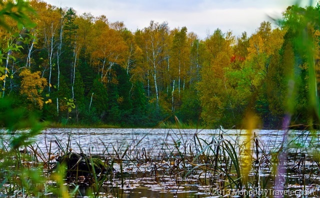
Once on the trail I was making good time but the lure of what’s ahead kept motivating me to go further. Getting back in time to have breakfast with everyone else soon disappeared along with being back in about an hour. As I was making my way back to the car I took a wrong turn and did a loop back to trails I had walked earlier making the return that much later. Still, the fall landscape in Northern Wisconsin was more than enough to make this excursion worth while.

The Fall Landscape of Northern Wisconsin

Experience Gained: Taking note of the time and direction at the start of the hike using a compass or GPS if there is signal makes getting back to that spot  easier. Also, the speed of hiking easier trails is considerably faster especially when I’m the only one hiking. Not that hiking alone is my preference. Sharing the experience is important to me.

Some of the Wetland Areas

Gorgeous Fall Colors

Expedition to the Fallen Wawona Tunnel Tree continued…..
P6190018_thumb13

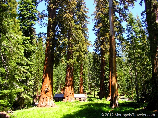
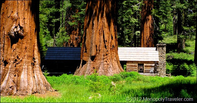
A few feet beyond this marker you could see more large sequoias and a building which turned out to be restrooms. Just beyond the restrooms there, in the midst of a stand of redwoods was the museum. The sight causes you to forget the distance hiked as you become engrossed in the amazing view in front of you. This little cabin surrounded by giant trees making it appear as though it is a little play house in a forest. Almost as if you have entered a different world. I felt like an ant playing among a few trees. This was a feeling I have never experienced before and not sure how to understand it now. Thinking back, it makes me laugh and appreciate the feeling was so odd. Always exploring looking for new experiences. This was definitely a new experience. It’s not like being in an airplane with everything else near the ground looking so small. If allowed, you will feel inferior to the surroundings becoming afraid of nature and any animals that might come your way. Fearing they will also be giant in scale able to squash you like a bug with no defense.
P6190020_thumb11

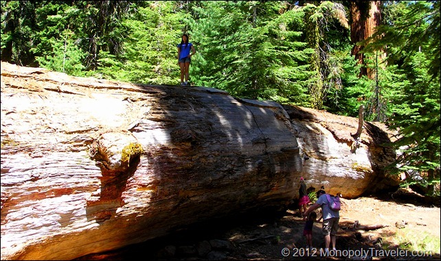
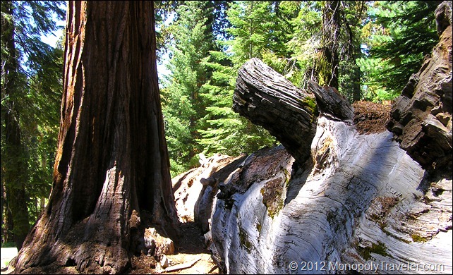
After taking in these impressive moments we continued on to reach our destination of the Fallen Wawona Tunnel Tree. The trail continues up in elevation a little more ending near a paved road used by the tram and a large tree laying on the ground. This is a great opportunity to explore a giant sequoia up, down, inside, and out. You can get a sense of just how large some these trees get as their diameter is taller than you are when lying on the ground and the length just seems to keep going. The children spent several minutes playing around inside this tree and climbing on top of it (after I showed them how to get on top of the tree of course). This tree alone may not justify the hike but along with the trees near the museum it was definitely worth it.

P6190037_thumb11

Having to hike back we decided it was time to get off the fallen tree and begin our journey back to the vehicles. As we headed back we took in as much of the sequoias as possible and the feeling of being extremely tiny in this world. One more stop to re-fill water bottles at the museum and another bathroom break. We were off taking the same trail looking forward to sitting down on a cushioned seat again. Shortly after heading back down the trail we encountered another family wondering the same thing we did at that point – “are we close yet?” Laughing we explained how close they were and those were our exact thoughts at that same area on the trail. There was a sense of relief in their faces knowing their destination was near. Funny to be on both sides of wondering just how much further at that spot on the trail.

P6190030_thumb17

Our hike back took only half as long as it did to get up to the museum as this time it was all down hill. The joy of being back at the parking lot brought a stop to the gift shop for ice cream before letting the vehicles do the work for awhile as we headed to get the monopoly board signed before leaving Yosemite National Park for the last time. The children all slept well that night. Probably the adults too!

Expedition to the Fallen Wawona Tunnel Tree

Fallen Tree Description

A few days after hiking in Mariposa Grove, we were intrigued by the lure of the Fallen Wawona Tunnel Tree further up the trail and decided this would be a nice hike to end our time in Yosemite. According to the sign posts along the trail this was a little over 4 miles to hike. Using My Tracks from Google, we hiked over 5 miles almost 6 miles (in an effort to appease our travel companions from HobbyJeep.com). Either way this is a long distance for a 4 year old (the youngest of our group of 9) to walk and she did this remarkably well.

The Youngest Member of Our Group Hiking to the Wawona Tree

There is an alternative to hiking to the Wawona Tunnel Tree, you can purchase a ride on the tram going from the parking lot to the tree and back taking just over an hour. There are a couple of reasons this did not fit into our objectives. Cost was the first deterrent. For a group of 2 or so the cost isn’t so bad but for a group of 9 the expense became larger than we were comfortable with. Next, the challenge of a hike this distance for the kids would be a good experience. Finally, the tram only stops twice for people to get on and off to explore these incredible trees. We didn’t find this out until after we got to the museum near the tunnel tree. By hiking we were able to walk among many sequoias and enjoy the trail. In addition, for the Monopoly Travelers, this was a good opportunity to experience a nice hike before heading to Isle Royale National Park where hiking would be our only method of travel.

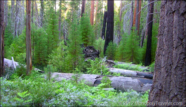
Fire, Death, and New Beginnings

Armed with a pack consisting of fruit and trail bars along with plenty of water and our cameras it was off to the trail. Don’t forget the med kit as scratches are very possible. The first mile was familiar as we  reached a number of trees visited a few days prior such as the Grizzly Giant and California Tunnel Tree. Soon it was on to new trails exploring vistas we haven’t seen in search for more amazing vistas. After hiking about 2 hours we were starting to wonder how far away it was as we hadn’t passed anyone in a little while. It is at these times your mind plays tricks on you as you begin to wonder if you missed a turn somewhere or took a wrong turn earlier. Fighting these detrimental thoughts we pressed on and approached the top of the hill we had been climbing to entire time and found a trail marker. In addition to the mileage we were also climbing about 800 feet in altitude. The marker told us we were near the museum and still on the right track.

Isle Royale part III

Taking the Trail by Huginnin Cove

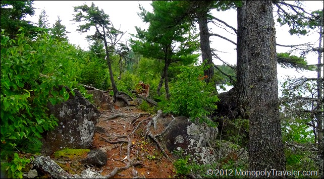
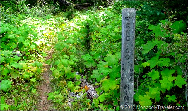
The first portion of this trail follows the shoreline of Lake Superior giving amazing vistas demanding a moment of your time to take in all the sight has to offer. There are many places along this trail begging you to stop and see what nature has created. Unfortunately this also means more time with a full backpack strapped to you each time you give in to natures majesty. Each ache and pain in your body asks that you keep moving so that this heavy load can be taken off. Each person has to decide which portion of this battle will win. I gave in to the natural creations knowing that the pain will go away but the memories will be there for a long time. I would have regretted not taking in this part of the island. As the trail turned inward to cross the island we began to ascend up a long hill being greeted with a light rain shower. This was no real surprise as we could see the clouds off in the distance while walking along the shore. Wendigo Mine

Near the top of this hill the rain subsided but the mosquitoes began targeting us for lunch. These mosquitoes where persistent for much of the trail encouraging a faster pace. Our group split into two during this trail: a faster group and a little more relaxed pace keeping in contact with the use of two-way radios. Each group continued on the trail going up and over rocks, around water, and on to our final destination taking a moment to explore an old copper mine along the way. The first group reached Washington Creek and secured the same shelter we used earlier. Our second group had a little more interesting trek. After stopping to explore the Wendigo Mine, they came upon a moose blocking the trail. Slowly backing away as anyone who has encountered a moose knows that they own whatever territory there on. After backing away it was decided to remove the packs as who knows how long the moose would be here and it would be easier to blend in to the trees without the additional weight if that need should arise. After about 15 minutes the moose moved on along with her calf allowing this group to continue towards and eventually reaching Washington Creek.

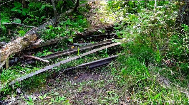
Tracks Left Behind From the Mine

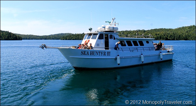
Everyone was glad to be back at this first campsite quickly removing the packs and resting a few minutes before setting up camp for the last night. The night was cool and again treated us to a sky filled with stars. Our next morning consisted of eating and packing up getting ready to board the Sea Hunter III for a return trip to the mainland. Once again the morning was beautiful and sun drenched giving us one last day with amazing weather. Our younger participants became Junior Rangers once again and where ready to shove off after four days of extreme camping. If you can believe it, this was done with children from 7 to 12 years of age who all carried at least some items as far as they could. A learning experience for all. Just imagine how little we can actually live on and how little we need to survive compared to everything we desire in everyday life. Even living on this little, there were and are people who live on less!

The Sea Hunter III