Category Archives: Exploring

Twin Cities Edition of Monopoly

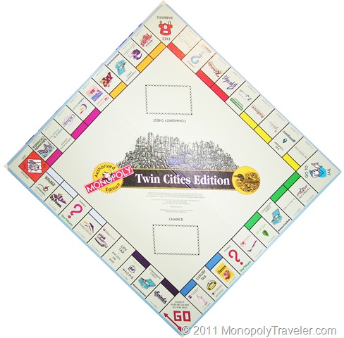
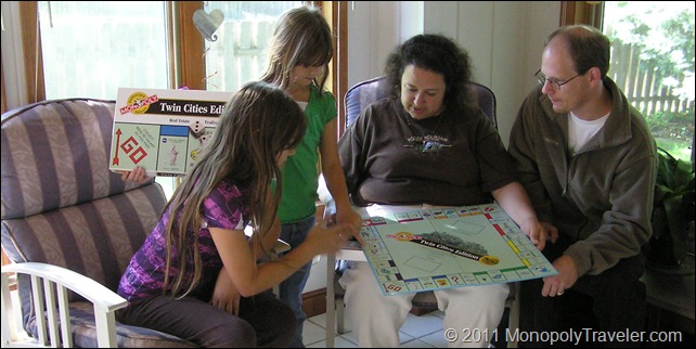
Discovering a new board

This edition of Monopoly has been completed and provided a fun and interesting adventure. There are many memories with a number of discoveries to last us a lifetime confirming why we are Monopoly Travelers.

Twin Cities Monopoly Board

Why did we choose the Twin Cities Edition of Monopoly?

The twin cities is an area that we are somewhat familiar with as we have been in that area several times. We wanted to experience how difficult or easy it is to be a monopoly traveler in an area that we are familiar with and let us know how familiar we actually were with this area. Another reason for traveling the Twin Cities Edition was to help us find out what is required to travel other editions of monopoly in areas that we are not familiar with.

While I knew of virtually every location on the board, I have not been to many of these destinations and this provided an opportunity for us to experience places that were new to us. We had a great time exploring these areas along with revisiting places that we have not been to in awhile such as the Minnesota Zoo, Minneapolis Sculpture Garden, the new Twins Stadium, and the new Guthrie Theater.

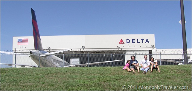
Visiting Delta Airlines

Board Surprises

The Twin Cities Edition of Monopoly is obviously a promotional tool used to highlight some of the better known local businesses at least for 1997 when this edition was created. It was amazing to discover how many changes there have been in the Twin Cities since 1997. There were six properties that have changed names due to mergers or acquisitions and one property that has since gone out of business. These are the situations were research is essential in order to complete a board. In my opinion, deciding to skip a property because of a name change for some reason or other is not an option when traveling a board. Figuring out what happened and adapting to these changes are what makes being a Monopoly Traveler more of an adventure.

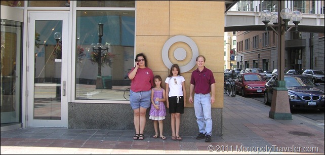
Daytons which is now Target Headquaters

Some of the name changes were relatively easy to figure out such as Northwest Airlines and the Pillsbury Company. There have been numerous news stories highlighting Northwest’s merger with Delta Airlines and the Pillsbury Company being purchased by General Mills. Even finding out where to go for Dayton’s was not very difficult but deciding among a few different options took a few minutes. Dayton’s Corporation has become Target Corporation and the Dayton’s brand was ultimately changed to Macy’s so we had to decide if we wanted to find Target Corporation or Macy’s. As it turns out we visited both but took our picture in front of Target Corp’s Minneapolis headquarters since it is a Minnesota based business and the traveling adventure we were on was highlighting the twin cities. We walked by the old Dayton’s Minneapolis landmark retail store which is now a Macy’s landmark retail store.

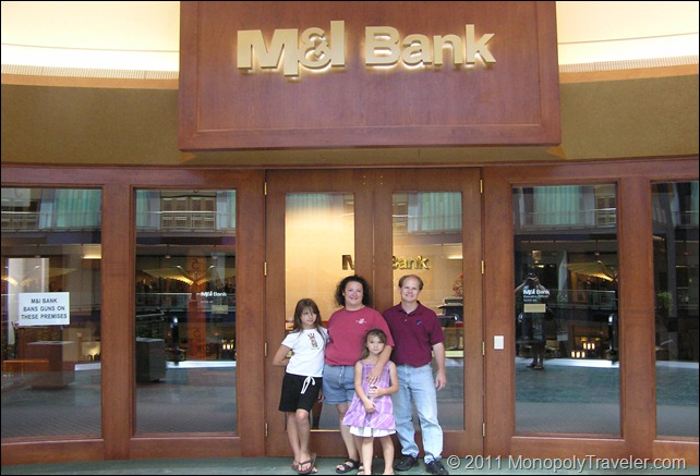
National City Bank now M & I  Bank

Minnegasco has now become Center Point Energy and U.S. West is now Qwest and again these were not terribly difficult to research but without looking up these board properties, we would have not been able to complete this edition of Monopoly. The last business to change names was National City Bank. M& I Banks acquired National City Bank in Minneapolis which provided a little more of a challenge because upon first discovering National City was no longer in business I found PNC Banks had acquired National City Bank late in 2009. PNC Bank has no current presence in the twin cities so further research was needed. After looking a little harder I found that M & I Bank had acquired the Minneapolis location providing an opportunity to seek out that board property.

To read more click here….

Climbing the Rockies (part III)

Wild Orchids
Wild Orchids


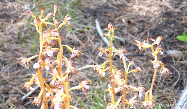
For the second day in Rocky Mountain National Park there were two ranger programs of interest and a few animals that had eluded us of which we wanted to find if possible – moose and big horn sheep. The first ranger program was at Lily Lake and highlighted wildflowers that were in bloom around the park. It was great to find out what some of these beautiful flowers where that we had been seeing while exploring different areas. Towards the end of the program our ranger mentioned where a few orchids could be found in bloom sending us off on a minor expedition to see if we could find one. After a short time walking there they were! These orchids were only visible to those that were looking and had an idea of where they were otherwise they are well adapted to the environment and somewhat difficult to spot. This stop at Lily Lake provided a great view of Longs Peak, the tallest peak in RMNP. Our next program of interest was again a 30 mile drive to another area in the park so off we went with enough time to stop for lunch.

A Hidden Waterfall
A Hidden Waterfall


This program highlighted elk and the habit necessary for them to survive. More great information about elk and their seasonal migrations along with what is being done at RMNP to keep the herd sizes at manageable sizes. Some of the controls included adding fencing to certain areas to allow plants re-grow and establish while keeping elk out reducing some of the food available. A short hike going through areas that elk like to feed and drink where a part of this program. This hike meandered into the fenced off area allowing us to see plants re-growing and how much grazing by the elk has diminished available food. After the program we inquired about the best places to see moose and big horn sheep allowing us to focus on certain places to provide the best chances at achieving this goal. With that information in hand we were off. Along the way there were a few waterfalls that we wanted to see which were somewhat larger than those we had already viewed.

Looking Through the Trees for a Waterfall


Chasm Falls
Chasm Falls

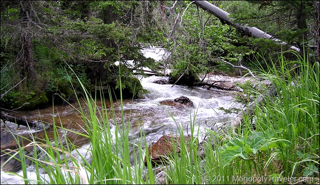
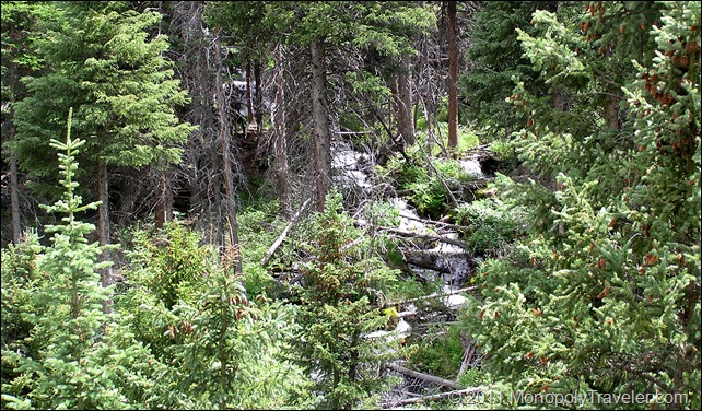
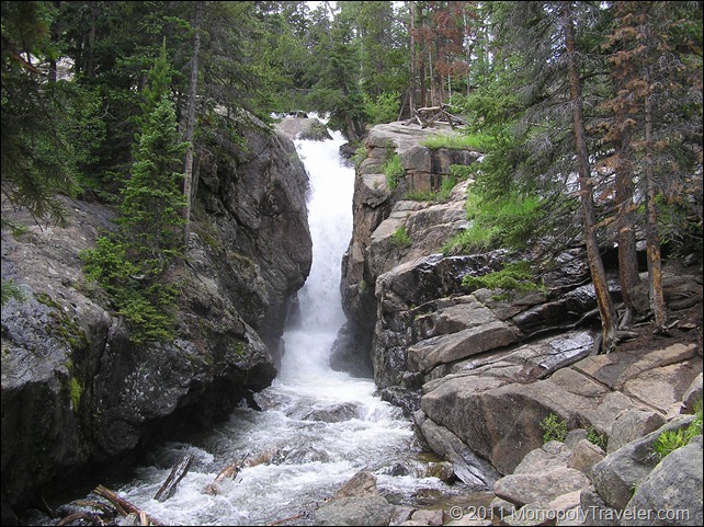
One of these waterfalls was located on Old Fall River Road which is a one way gravel road that winds narrowly up the mountainside. There were times I was uncertain if this was a good idea as the road winds back and forth with the edge not far away. Drive carefully or you could be going over the side and taking a ride you were not prepared for. Just before this road there is a picnic area with a small trail that heads towards a very tall waterfall hidden deep in the trees. It is difficult to see the entire fall but still very beautiful for the parts that you can see. Continuing on to Old Fall River Road towards Chasm Falls, you begin to feel like you are in a secluded area as the road is gravel and narrow with trees sheltering much of the passageway. The only reminders of civilization are the number of other adventures traveling this road and paved trails at certain overlooks. This waterfall reminds of the power that water has as it moves and carves large boulders to shape the river. It can almost be imagined the millions of years it takes to really change this landscape just by the size and placement of certain boulders as you explore along this waterfall. As you continue this drive you wind up one side of the mountain and then cutback heading towards the other side of the mountain meandering slowly higher while catching a quick view of a snowfield higher up or a larger stream created from melting snow. Eventually this drive brings you above the tree line allowing you to see how far you have climbed on this winding old road and how close you have moved towards the top. Shortly after reaching the tree line, Alpine Visitor Center is back in view. This drive takes awhile but is well worth it if you can overcome the fear of driving so close to the edge of the road where the drop off could be 100’s of feet below and take in all that is around you.

To Read More Click Here ….

Climbing the Rockies (part II)

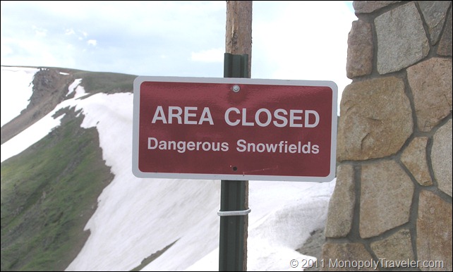
Dangerous Snowfields
Melting Snowfields


While exploring the displays in Alpine Visitro Center, some other explorers entered telling park rangers that a Wolverine was spotted not that far away. I rushed outside in hopes of catching a glimpse of this rarely seen animal in RMNP without success. Not really knowing what a wolverine looks like I perused the displays until I spotted a photo of one. Listening to park rangers tell about wolverines was interesting and hearing their thoughts on why this one was wandering around proved fascinating. Their theory was this wolverine was looking for a mate and that if one was not found soon it would head further north out of Rocky Mountain National Park. While keeping an eye out in the area where the wolverine had recently been spotted we scanned the scenery where deep snow fields blended with areas of brown indicating where the snow had just retreated from a day or two earlier. Areas where the snow had melted several days before where already green as plants had begun there quick summer season with other plants not far away blooming. It was interesting to see this summer progression of the snow receding and giving way as life returned to the hillsides.

Alpine Ridge Trail
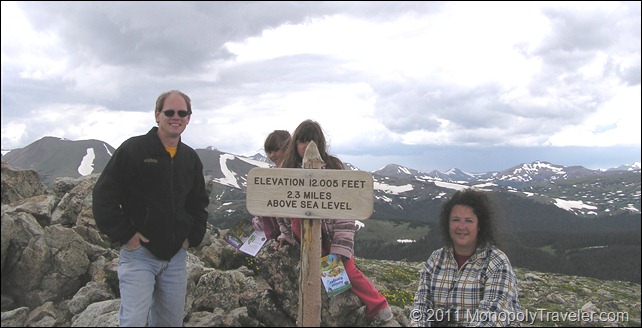
The top of Alpine Ridge Trail


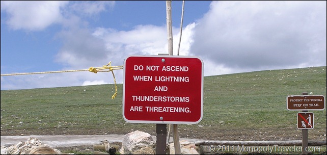
We decided to grab something to eat at the cafeteria located near the Alpine Visitor Center before proceeding on with our adventure. After a few moments of rest and eating we headed off to climb the Alpine Ridge Trail which would end up being the highest elevation we would reach during our time in RMNP. This was a short trail with a lot of climbing requiring us to move slowly as the elevation provides less oxygen making breathing more difficult. Park recommendations are to reach your summit by early afternoon as lighting becomes more likely later in the day so we were in a little bit of a hurry in order to avoid being at the top of this trail during the mid and late afternoon. Another great view of the mountains which surrounded us! From here you can see where the Colorado River begins its journey towards the Grand Canyon along with so many other mountain peaks. Heading back down towards our vehicle we spotted several dark clouds heading our way but we managed to get to the top and back down without experiencing lightning first hand at the top of a mountain.

Lightning Warning
Lightning Warning


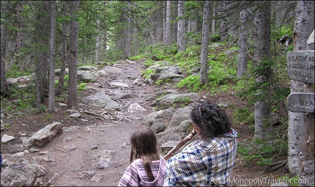
On to find the trail that takes a spot on our National Parks Edition Monopoly Board – Flattop Mountain Trail. This required driving over 30 miles to Bear Lake to reach the trailhead leading to our targeted destination. During this drive there was once again incredible scenery from all of the flowers blooming along the roadside to rapidly flowing rivers. I found several types of flowers I would like to add to my yard someday. It is a little more difficult to create all of the snow melting into rivers in my yard so I just need to enjoy the photos and memories for now. Once Bear Lake was reached we headed for the trails and began ascending towards our objective. This was a short 2 mile hike with the intention of staying below the tree line so as to avoid any possible threat of lightning. As we reached Flattop Trail we took a few moments to rest and take in the surrounding of stones, trees, and the occasional critter wandering in the forest. It was starting to get late in the day and we were tired after all of our hiking and exploring so the decision was made to descend back to the car and return to the lodge for food and a good nights sleep.

Flattop Mountain Trail

To Continue reading more click here ….

Going Underground in Wind Cave (part II)

Entering Wind Cave
Entering Wind Cave

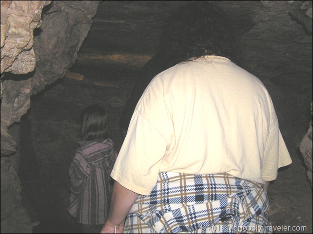
The elevator doors opened and there was a small, cool room waiting which had been created out of concrete. There was a door leading into the cave with a small flag attached near one of the crevice. That small flag would show which direction the wind was blowing caused by the change in pressure from the surface to the cave. This cave is always attempting to equalize the atmospheric pressure from within to that on the surface creating a wind either entering or exiting. At the time of our entrance into this cave the flag was standing away from the door indicating the pressure was higher inside and was trying to escape to the outside. As we waited for everyone in the tour group to arrive inside these close quarters, my mind began racing and a trapped feeling crept in knowing that the only way out was through that elevator which was at the top of the shaft for the moment. The walls appeared to close in and panic was felt climbing into my head. Quickly I started work on calming down with the exercises I had rehearsed many times before this moment. I was in a parking garage under a building I was familiar with. Immediately my mind relaxed a little and in no time the ranger opened the door leading us into the cave. Shortly after getting into the passageways amazement took over and the claustrophobia was gone never to return in Wind Cave.

Amazing Colors and Textures inside the Cave

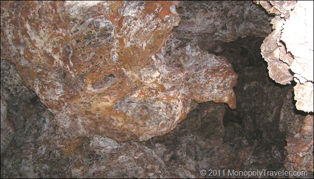
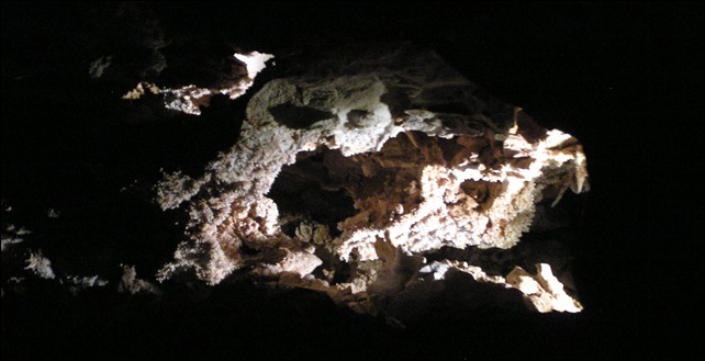
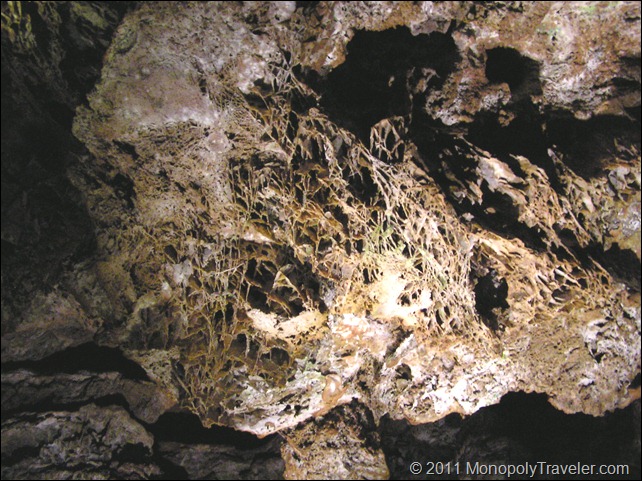
The cave was cool as it stays at 53 0F year around requiring the use of light jackets but not as dark as I was anticipating. These main passageways that we would be using were very well lit in most areas so we could see where we were going and cave formations. It is unbelievable how large some of the rooms are inside and the passageways didn’t feel tight at all. I was in complete adventure mode as I had never experienced anything like this before. Sure growing up there would be caves to explore but those were merely a place to hide without much more. The colors and formations of these rocks where unlike anything I had imagined. It was now understood how people could spend days exploring different areas inside of caves to uncover mysteries that no one else had discovered. To see something never seen before in the world would be incredible. I don’t think caving would be for me but to see inside some of the easier passageways was incredible. Some of the rock formations such as boxwork, popcorn, and crystals encountered along with the huge boulders hanging overhead provided an amazing experience. There was more than once that the thought of one of these rocks falling entered my mind. Just a quickly a reminder that these stones have been in place for a very long time and the likelihood that they would fall at just this moment was probably less than being injured in a car accident or even being struck by lightning.

Cave Popcorn
Beautiful Cave Popcorn


There were hundreds of stairs built into the passageways of Wind Cave allowing us to descend into some passageways and ascend into others. Over the course of our tour we changed altitude by 150 feet giving many different perspectives of these rocks and the forces that created them. Some of the rooms were so large that houses could fit inside with room to spare. These rooms made it easy to forget about being hundreds of feet below the surface. It was difficult to keep hands off of these rocks as much as possible because there were crystals or boxwork within touching distance. However, the importance of not touching was presented before entering the cave due to the potential for degradation from either the rocks breaking or oils from our skin deteriorating the minerals that make up these formations. Our tour wound in and out, up and down, and through these cavernous passageways with only a small number being small enough to sneak through. The end of the tour arrived and left us wanting to see more another time. As we exited the cave, that flag that was blowing out of the cave and changed directions and was now blowing into the cave indicating a change in pressure so that the atmospheric pressure outside the cave was now greater than inside. Back into the small chamber to await our elevator ride back to the surface with nothing but memories to last a lifetime to occupy our thoughts.

Stone Boxwork
Stone Boxwork Formations

To continue click here….

Beginning in the Badlands (part III)

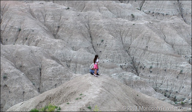
A Break on a Butte
Resting on an Area Butte

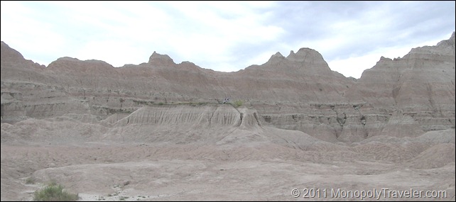
The afternoon sun was beginning to wear on us. Fortunately we had placed a gallon of water in the trunk with a few glasses in order to keep hydrated. After our early afternoon ranger program, Lysa and Kristy wanted to climb the hills. I was ready for some rest so we retrieved our camp chairs from the car and watched as both of the children climbed up and down different hills. The air was getting a little stagnant from our seating area. There must be some movement in a different location so off I went in search of a breeze. The beautiful thing about our chairs is they fold up quickly and stow in a bag containing a strap for easy mobility. I began exploring different areas, climbing up and down just like the kids but for a different reason. Finally I found a satisfactory location – on top of a butte. This must have seemed a little weird as other families were stopping and taking pictures of me in my chair resting on that butte. You know you’re doing something right when you’re purposefully added to another family’s photo album. We continue to laugh about this to this day.
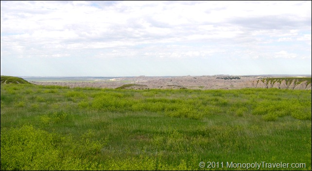
A Badlands Prairie
A Badlands Prairie

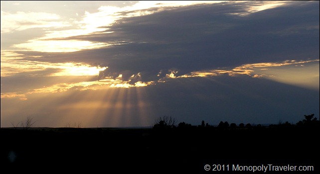
Off to our final ranger program of the day as we continued to explore more of this great park. At this point the Lysa and Kristy were beginning to grow tired of walking and the thought of another mile stroll through the prairie was not an exciting idea. Being the troopers that they are, they accepted this final program although there seemed to be more resistance than I was happy with. There celebrating began as this program came to an end and it was time to return to the hotel. Of course, the return trip required us to drive back through much of the Badlands prompting a number of stops that were of interest on the way to the visitor center. The sun was beginning its nightly journey towards the horizon leaving us before we were ready. As a result our stops became fewer and quicker while we traveled back to Wall. A brief stop for another meal and then back to the hotel for some much needed rest before continuing our journey.
The Sun Setting over the Badlands

Absolutely a great start to our adventure around the monopoly board!

For more photos click here ….

Beginning in the Badlands

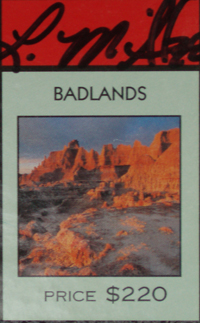
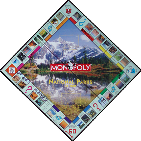
BadlandsOnce we made the decision to travel the National Parks Monopoly Board it was time to look over all of the destinations. After studying the board for a little while we decided to embark on our first journey closer to home so that we could find out what we were in for in a little more familiar territory. Knowing that this was going to be a summer expedition we saw a cluster of parks near Southwestern South Dakota which included Mt. Rushmore. After discussing this trip a little while it was determined that we wanted to be at Mt. Rushmore for the Independence Day celebration which dictated our travel dates. A little further east resides Badlands National Park and would be a good destination to begin our Monopoly Travels. While growing up I had friends who had visited the Badlands tell me about them but I really had no idea what to expect. The thought of going to someplace called “the Badlands” didn’t have a great appeal as it conjured up images of Mel Gibson in Mad Max. Visiting someplace with such an imagined bleak landscape didn’t make a lot of sense to me. Keep in mind that I had not looked at any photos or video of this place and was basing my opinions strictly on the name. Well, it’s on the board so there must be something of interest and in order to be a Monopoly Traveler we at least need to stop and check it out.

Looking Over the Badlands
Looking Out Over the Badlands

I remember planning for this trip and all of the time spent researching directions, places to stay, and what to expect in the Badlands. There was a lot of uncertainty because we have never taken a family vacation like this before. Where do we stay? A Campground or hotel? What are these national parks all about? What are we going to drive there? Use our own car or put the miles on a rental vehicle? The first thing to do was plan our agenda to get an idea of where we want to visit and departure and return dates in order to get this time off from work. We knew we wanted to experience the Independence Day Celebration at Mount Rushmore so the next question was do we want to explore the Badlands before or after Mount Rushmore?

Sioux Falls
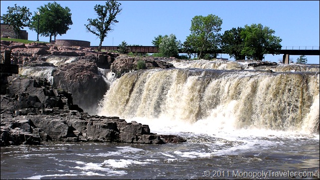
The Falls Sioux Falls was Named For

It was decided to make the Badlands our first National Park and stop there before continuing on to Mount Rushmore. Now we had a date and could start planning departure dates and times along with where to stay to make this happen. I researched camping because that would save some money and the kids love to camp. After thinking about this for a little while we realized that we would have to pack our camping gear along with everything else we needed for a 10 day trip and room in the car. In addition, we would have to set up and take down our camping gear almost every day. Understanding these pieces helped us to decide on staying in hotels. Next was to figure out which hotels to stay at and in which cities. In order to know that we needed to know where exactly Badlands National Park is and how to get there. Fortunately the national park service has a nice website the gives this information along with planning information and what we could expect while visiting while in the Badlands. This helped to fuel our excitement to get to the Badlands and experience all that we could. In addition we would get the opportunity to stay in Wall, South Dakota and visit the highly popular Wall Drug. I grew up hearing about and seeing advertisements for Wall Drug. Now I would get to see what this place is all about.

Mitchel Corn Palace
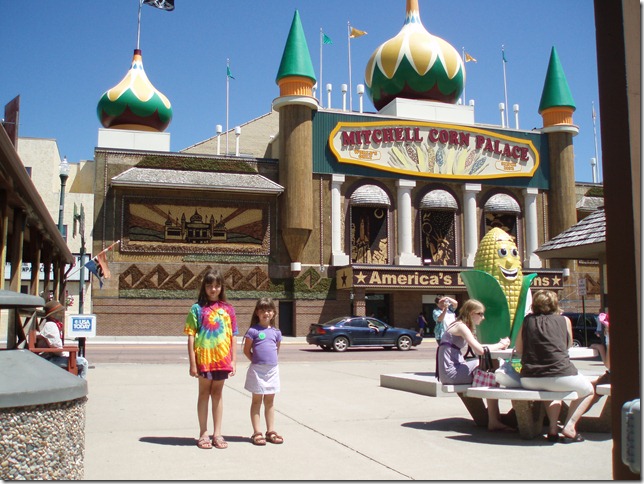
The One and Only Mitchel South Dakota Corn Palace

It was the summer of 2009, our day started out by getting into the car at 5am in order to arrive in Wall by late afternoon. A stop in Sioux Falls took a little longer than anticipated as we took time to enjoy the waterfalls where we were interviewed by a local TV news station about our travels and also exploring a local butterfly house gave great enjoyment while delaying our arrival in Wall. Finally heading out of Sioux Falls, we had to take a bathroom break in Mitchell South Dakota for an unauthorized stop at the Corn Palace. If you haven’t been there, it is interesting how art can be made out of corn to decorate a large building. Yet another delay in getting to Wall. All of these unplanned stops can create memories that were never expected a make a family trip such as this more enjoyable with more to reminisce as time goes by. We entered Wall early in the evening with just enough time to find someplace to eat and explore Wall Drug. Wall Drug is basically a little mall with a number of small shops inside set in a frontier motif. Up Next…the Badlands!

Beginning in the Badlands part II….

Winter in Mesa Verde (continued)

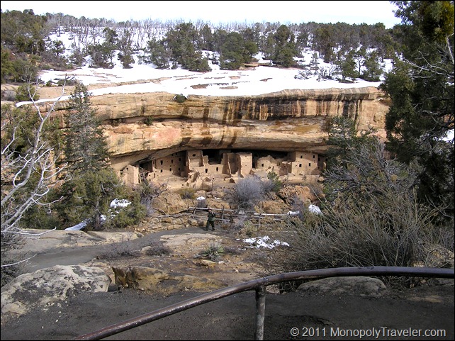
Spruce Tree House
Spruce Tree House

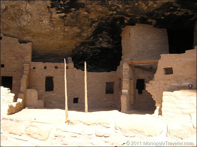
What a great experience with so much to learn during such a short period of time. This tour only lasted an hour but provided enough information to last several hours. We saw how their structures were built using surrounding resources including logs, stones, and a special mud to hold it all together. Kivas were built underground and used as ceremonial gathering places. The Puebloans that lived here carved holes into the side of the cliff in order to ascend to the top of the mesa where they farmed and hunted for food. As we continued to explore this community built into a cliff, the advantages of living here became apparent. Protection from many of the elements and even potential enemies was a great benefit. During rain or snow they were able to stay dry and on a hot summers day there was plenty of refreshing shade in cool locations to stay comfortable. The placement of many of these communities allowed for the rising or setting sun to warm the cave and I’m sure provided magnificent sunrises or sunsets. As we continued to explore this community built into a cliff, the darkened ceiling continues to give proof of the fires that were used inside the cave. After wondering in and out of accessible parts of Spruce Tree House and satisfying our curiosities while at the same time creating more, it was time to ascend back to the museum.

The darkened ceiling of Spruce Tree House
The Darkened Ceiling of Spruce Tree House

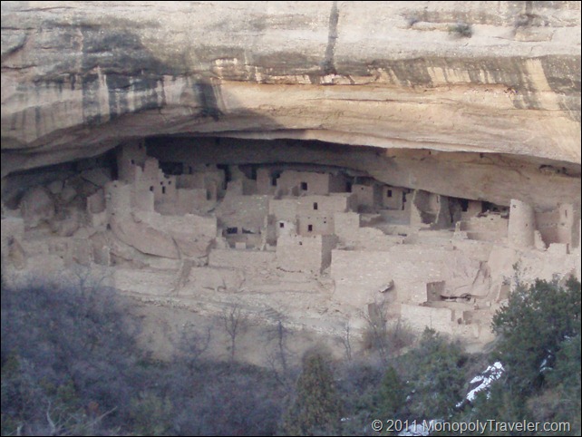
The exhibits back at the museum had a much larger impact after seeing the actual living conditions presented in Spruce Tree House. We were eager to continue this adventure in Mesa Verde National Park by exploring more cliff dwellings and even witnessing how the Puebloans existed before building in the caves of these cliffs. Driving the Mesa Top Loop brought us to a number of different stopping points to look at other cliff dwellings and pit houses. These pit houses were built on top of the cliffs before the Puebloan people began building in the caves. Pit houses are partially dug into the ground with timbers and mud used for the roofs. Pit houses eventually evolved into stone and mud buildings bringing the necessary skills to build in the caves. There are several cliff dwellings along this loop with the largest be Cliff Palace. Cliff Palace is a beautiful compilation of buildings all contained in this large cavernous cliff. Why some of the structures are square while others are round still captivates my curiosity. Why are some buildings several stories tall with many others containing only a floor or two?

Cliff Palace
Cliff Palace

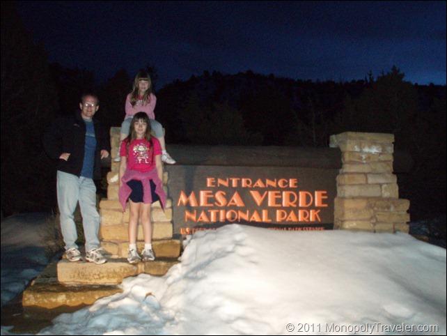
As we started nearing the end of Mesa Top Loop the temperature was beginning to cool and the daylight weaning signaling the end of our day. We were all tiring from this adventure and had been fighting hunger for a couple of hours eating every snack available in the car. It was time for the 21 mile drive towards the exit and another few miles to our place of rest for the night. As we found our way to the exit the entrance sign appeared which had been missed earlier in the day. The reason for missing the sign became apparent once we saw the mound of snow surrounding it. We stopped and attempted several pictures but there just wasn’t enough light to accomplish the task. Another trip the next day was in order to capture this final photo.

Another Dark Ending
The Sun Beat Us Again

What a great adventure with so many new discoveries!

To See More Photos of Mesa Vere Click Here …

Driving the Florida Keys

On the Way to Key West

The Last part of our trip had arrived. I have seen US 1 on several movies and have been intrigued by the length of bridges connecting the different keys. Also, I wanted to see Key Largo and Key West. Like much of our vacation, we only had a short time to experience the keys. In order to see where we were going we left Everglades National Park mid-afternoon. Entering Key Largo the Seafood Festival was just wrapping up so there were a lot of people heading back towards their cars to return home giving us the opportunity to look around as we drove slowly through the key. As the drive continued, I was surprised at how much of this highway was built on ground instead of over the water. The other thing that surprised me was how shallow the water was all around us.

Long Bridges Separating the Caribbean and the Atlantic Ocean

As we continued towards Key West there were more bridges with some impressive stretches over water including the famous seven mile bridge. It could not have been a nicer day with warm temperatures and plenty of sunshine. The timing of this drive could also not have been better because as we neared Key West the sun was setting giving us a beautiful view of some of the keys surrounded by the ocean. We arrived at Key West right as the darkness overtook the island so there wasn’t much for to see on this day. Anticipation for exploring the island in the morning was building however it was a long day and rest was much needed. This was our second to last night in the warm Florida weather so I took a few moments to step outside our hotel room and feel the ocean breeze and gaze up at the stars shining brightly. The night sky was the most beautiful star lit sky we witnessed during our entire trip and there were some nice nights to star gaze from our cruise ship.  

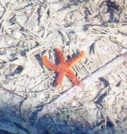
A Watching Beautiful Starfish While on a Leisurely Stroll

The next morning started with breakfast outside on the hotel patio while taking care of a few things on the computer. A reminder of what summer is like and how much I enjoy it. Following breakfast, we took a stroll by the ocean smelling the ocean air and watching the ebb and flow of the water as it crashed against the shore. Upon returning to the hotel we packed up and got ready to leave when something to one of our cars was noticed as being out of place. Further inspection showed that some trim around a passenger door window was bent out indicating that someone had tried to break into the car overnight. This was disappointing and delayed our leaving the hotel as we examined for anything missing even though there wasn’t much left in the car to take and notified both the hotel and local police. We certainly weren’t going to let this ruin our adventures in the keys. 

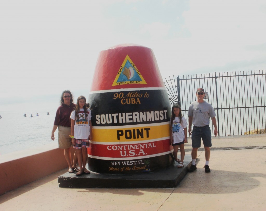
The Southern Most Point Monument

One highlight of Key West that was on the top of our priority was to see the Southern Most Point of the continental U.S. We had a fun experience to be at this monument and share this moment with the entire group traveling together. Once the pictures were taken (we did have to wait in line a few minutes to get these pictures) it was off to find a souvenir or two. Irony hit us in this quest as we neared a number of stores we couldn’t find a place to park and even had difficulty navigating the streets as there were so many people crowding Key West due to a cruise ship that was docked for the day. A great perspective of how much of an impact a cruise ship can have on a port and what impact we had at each of our destinations on our recent cruise experience. The decision was made to abort the souvenir portion and head to the beach in search of a restaurant. Success was had in this objective as we enjoyed our food in an open air restaurant watching the people stroll on the beach with the ocean in the background.

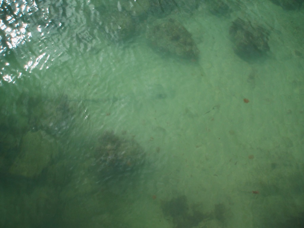
Can You See the Tail and Eyes of the Stingray?

After lunch we had time for a stroll along the beach and on to one of the piers allowing the opportunity to smell the ocean and hear the waves as they crash into the sandy shore. On our way out to the end of the pier we spotted several fish and a sailboat or two. Now for the toughest part of the day, the return to the car knowing it was time to head back to Miami to get ready to leave the Florida sun in exchange for ice and snow. As we walked back towards shore like condemned souls we noticed a stingray swimming by. The stingray slowed and eventually stopped and began burying itself in the sand waiting for its next prey. As we watched, it was evident that the stingray was also watching us because the longer we observed the more sand it buried itself in. This completed our experience on Key West and gave me a sense of satisfaction and completion of our adventure along the keys. Now back towards Key Largo and on to Miami.

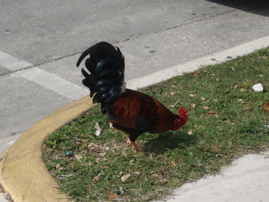
One of Beautiful Resident Chickens

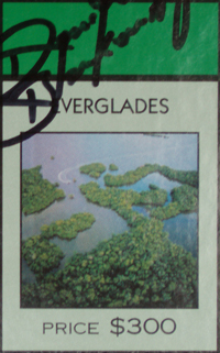
A Taste of the Everglades

Everglades

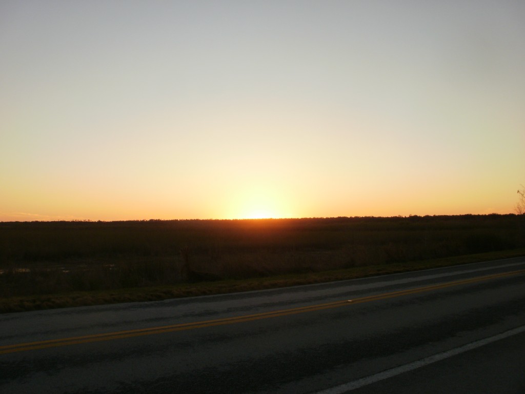
An Everglades Sunset
Is this the result of crocodiles?

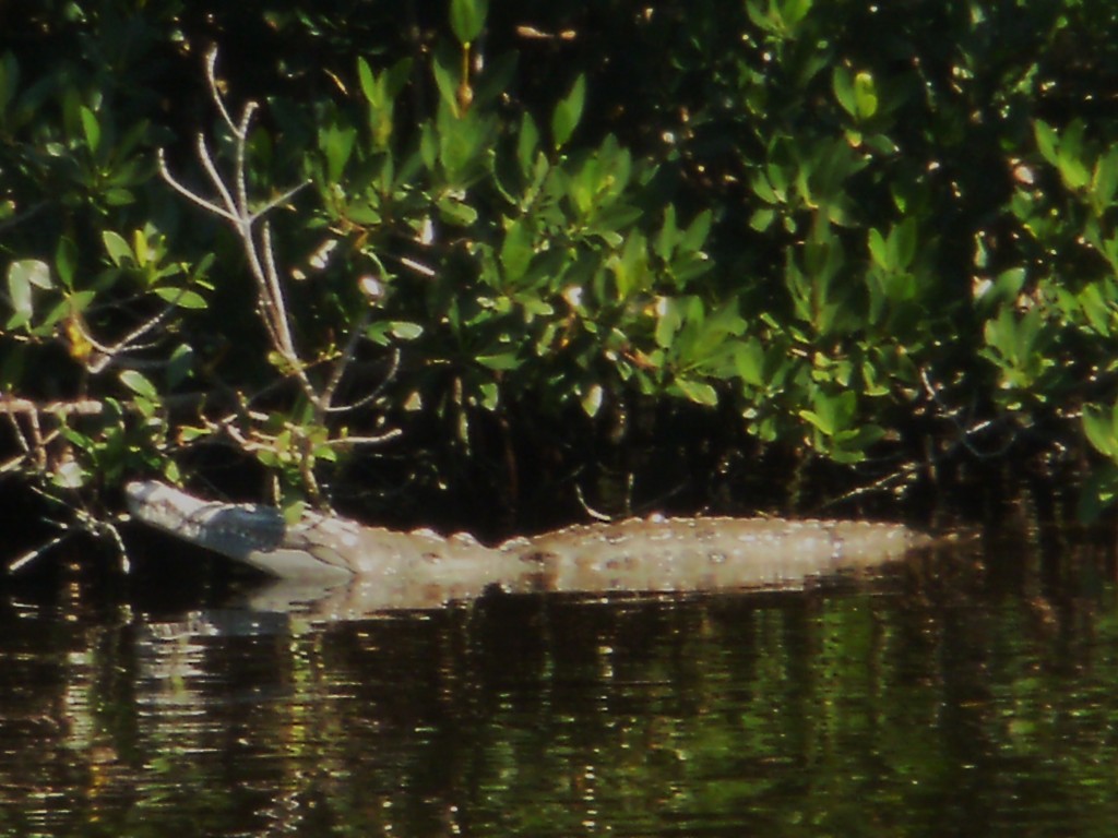
Eventually we wandered into the visitor center to peruse the displays and ask a ranger for the best chance to see some crocodiles and perhaps a manatee.The everglades are the only place in the country where alligators and crocodiles overlap. We were given a location and immediately headed for the recommendation. Scouring the water from shore we became more and more disappointed as there were none in sight. As we continued to explore, a crocodile was sighted although we weren’t convinced that it was a live crocodile because there was no movement for a long time. I think the only movement for about an hour and a half was opening its eyes. This crocodile kept it mouth open for that entire time which seemed unusual for a live animal. Later we found out that this is one way for a crocodile to regulate its temperature.

A Crocodile Resting on a Branch

Early in the afternoon there was a ranger program about manatees which we decided to attend. While waiting for this program, a nest above the visitor center was spotted where an osprey was feeding its young. Another satisfying discovering on this great adventure!

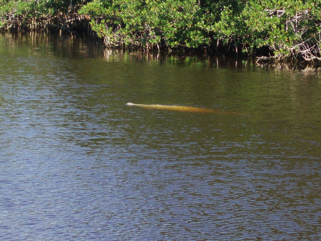
Sighting a Manatee

The manatee program got underway with some great information about manatees such as their resemblances to elephants and the amount of food required for this animal to survive. Manatees are able to live in fresh or saltwater and their largest predator is a propeller from boats. After taking in this information, we headed to the area suggested for sighting a manatee and searched and searched to no luck. Then out of the dark water emerged a manatee surfacing for air. Once sighted, we were able to see this animal a number of times. Satisfied that we had accomplished what we had set out to do, it was time to leave Everglades National Park and continue our adventure to the Florida Keys and Key West.

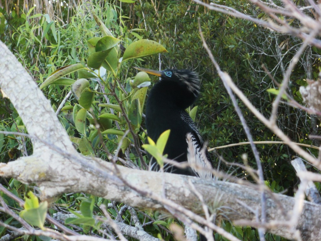
An Anhinga Hiding

To See More Photos Click Here!

Cruisen the Caribbean

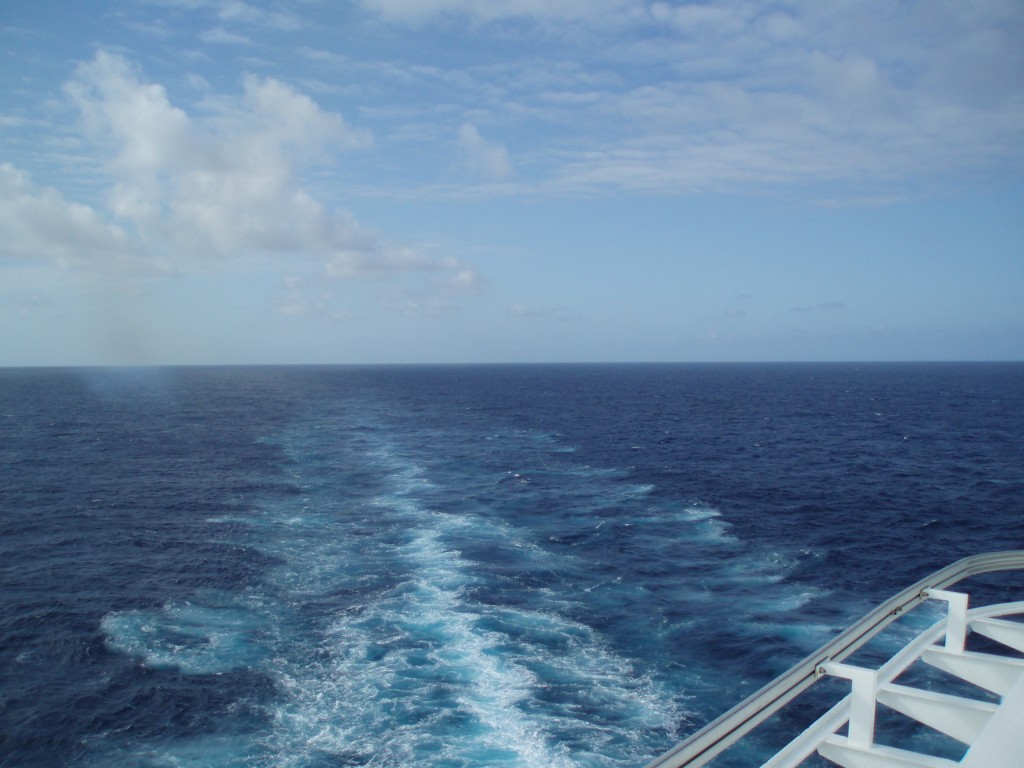
Mesmerized by the Motion of the Water

Time for the R and R portion of this trip/vacation.  The beds are made and the food is prepared and all within a short distance from wherever you are on the ship. The first day was a full day at sea watching the clouds drift by and the waves go up and down.  Unfortunately the waves went up and down a little more than desired rocking the ship back and forth due to the higher winds.  That just meant holding on to whatever you are carrying very tightly anytime you’re outside.  It’s amazing just how quickly we can adapt to a different environment.  We landed in Miami and left all the thoughts of snow and ice at home and immediately transitioned into the green grass and open water where the birds were singing and the fish frolicking around boats and rocks in search of their daily fill.

A Great Tropical View

We left the Port of Miami to hundreds of police cars, motorcycles, and boats with their lights flashing as they were honoring two of their fallen officers.  It was truly humbling to see the respect and honor given to those killed in the line of duty.  As part of that respect, our ship left dock without the familiar sound of the horn blown three times signaling our departure.  Then it was off to the Caribbean waters for a day of sun and sea.  While Lysa and Kristy enjoyed the pool, the rest of us took advantage of the time for some conversation and to soak in our surroundings.

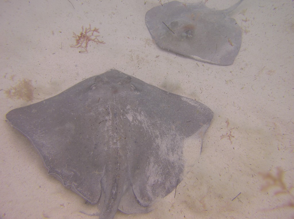
Playing with the Stingrays

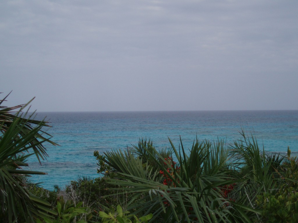
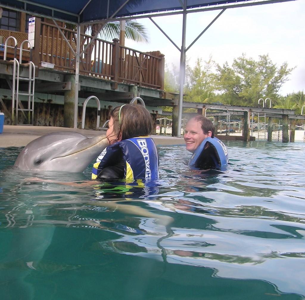
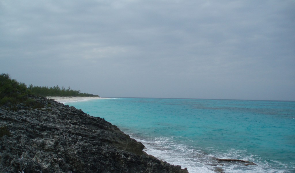
Our first stop was Grand Turk of the Turks and Caicos Islands.  We only had a small number of hours at this location so quickly got off the ship as soon as we arrived to take in what we could.  There was a little time in a few nearby stores, learning about the Mercury 7 splashdown, burying our feet in the incredibly soft sand, snorkeling above a local reef, and kissing a stingray. All of this in the short 7 ½ hours we had on shore at Grand Turk.  On to Half Moon Cay in the Bahamas. This is a private island only for guests of the cruise ship.  We spent some time snorkeling off the beach and then exploring this small island full of beautiful landscapes. Our third and final destination was the capital city of the Bahamas – Nassau. This was our longest stop of the cruise but also seemed to move the fastest.  After conquering the taxi and hair braiding gauntlet, we had the opportunity to quickly explore a few stores near the pier. Then it was off to swim with the dolphins for the rest of our time in Nassau. It was an amazing experience to spend some time this close to these very friendly (and well trained) animals.

Up Close with the Dolphins

Leaving Nassau we were quickly confronted with reality that this was our last night aboard the ship and it was time to pack for disembarkation.  While enjoying our evening meal we spent much of the time trying to figure out how to bring our server and room steward home with us.  The thought of not having them around was more than we could tolerate. Well, there was no viable solution so we decided to concentrate on our next destination – The Everglades.

Half Moon Cay